
Environment Canada meteorologist notes this could equate to major storm last January
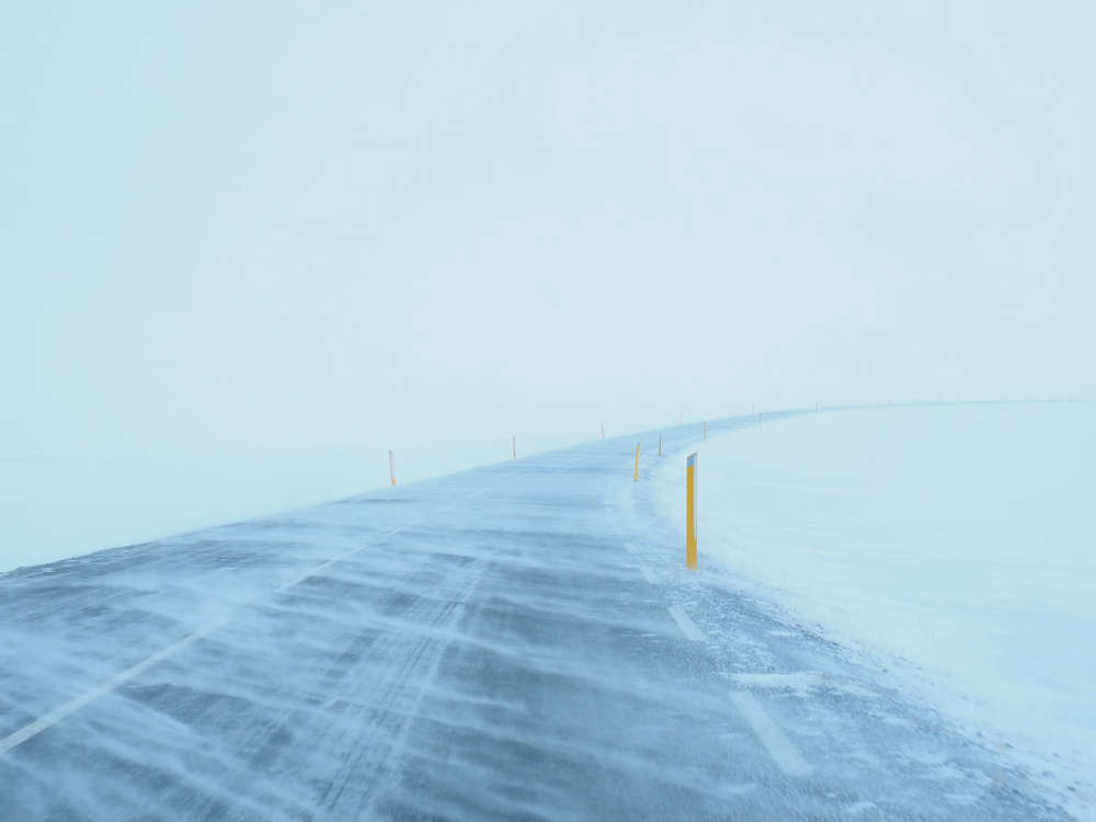
The day we've been hearing about concerning a major winter storm has arrived.
Environment Canada calling for rain changing to snow this morning, roughly between 7 and 9, for Niagara and much of southern Ontario. It'll also impact the northeastern parts. The thing to keep in mind is that wind gusting up to 120kms an hour, making the expected -7 high feel like -21.
Meteorologist Steven Flisfeder is recalling another storm this is on par with.
"People will likely remember the blizzard that occurred in January of this year, where parts of Niagara region received up to 50cms of snow, there were white out conditions for several hours, people were stranded on the highways," he says.
The meteorologist points out there's a reason why they've been talking about this storm all week. "Significant potential impacts to all forms of travel across southern Ontario, and large portion of northeastern Ontario. In addition to power outages being very likely, those outages could be followed by cold temperatures and very low wind chill."
Meanwhile, Buffalo is preparing for similar conditions.
Meteorologist Heather Kenyon is with the National Weather Service in Buffalo, and tells us they are watching that lake effect of snow. "One to three feet, which will impact Interstate 90, close to the City of Buffalo, and then further north into Niagara County, including Niagara Falls, snowfall totals will drop off... looking at around a foot."
Schools around Buffalo are closed for the day, as she says they prepare for blizzard conditions for Niagara and Erie Counties.
"Friday and into the weekend.... so the combination of the strong wind, and blowing snow will reduce visibility to less than a quarter of a mile at times," she warns.
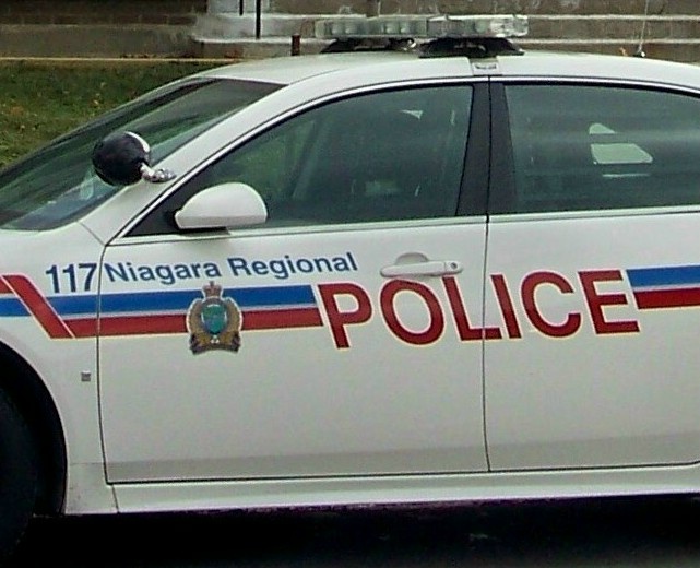
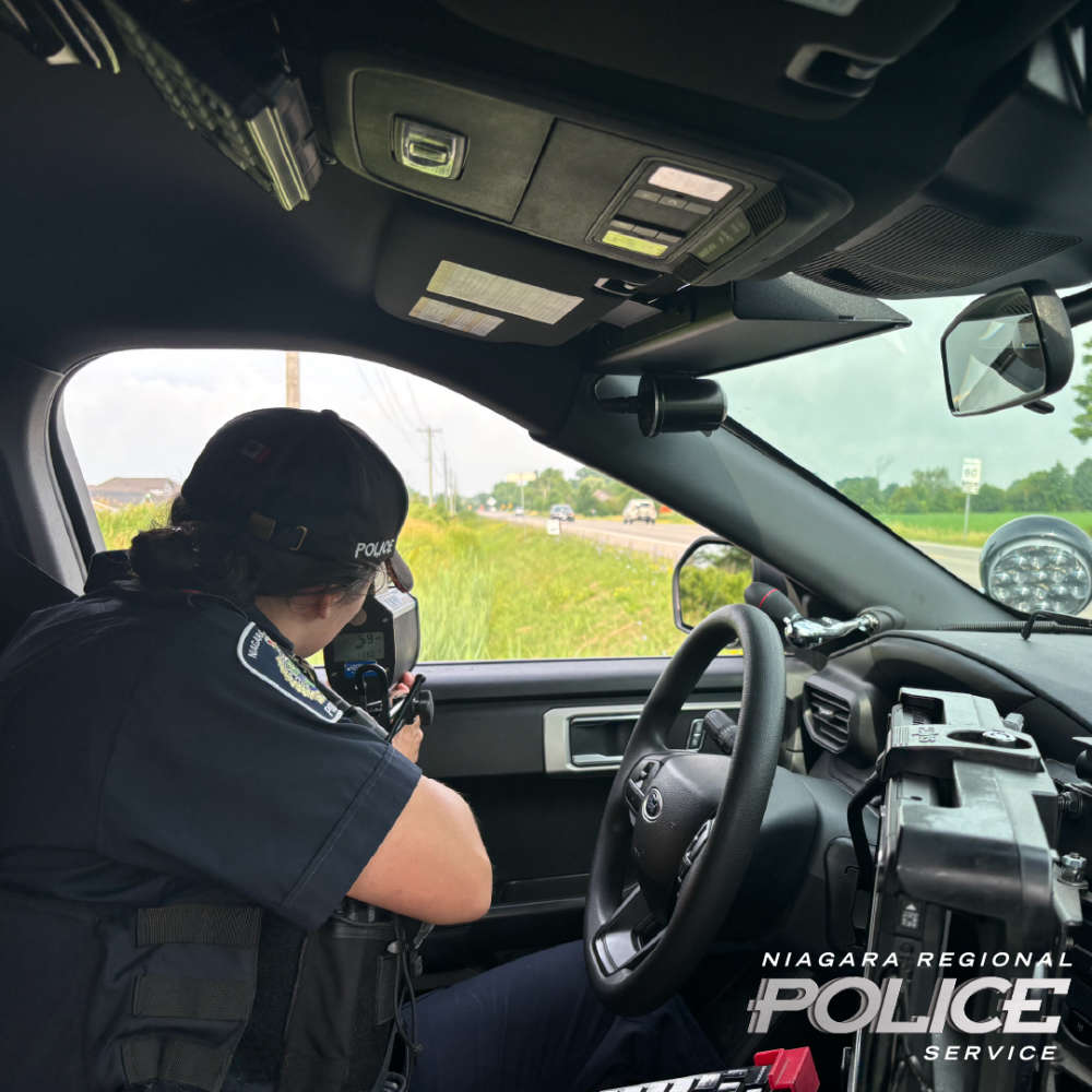 NRP Target Excessive Speeding
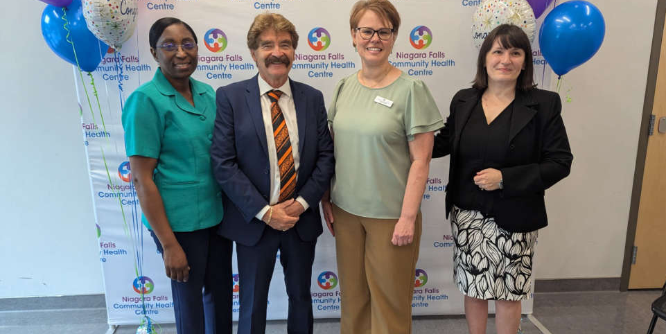 Province Invests in Community Health Centre
 Park Named After Chair Jim Bradley
 Bystander Recovering After Being Shot
 Motorcyclist Killed in Collision
 Witnesses Wanted in Bemus Park Stabbing
 Thorold Trying to Stop McAdam Park Vandalism
 Pair Arrested After St. Catharines Chase