

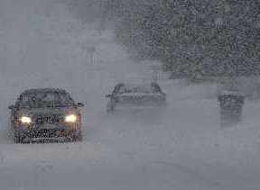
A winter storm warning is in effect for Northern and Southern Niagara.
Environment Canada warns that the region may see between 20 and 30 centimetres of snow tomorrow into Tuesday.
Two rounds of precipitation are expected with this storm.
The first one is expected to occur early Monday.
About 5 to 10 centimetres of snow is expected by Monday afternoon.
The precipitation is expected to decrease in intensity during the afternoon, followed by a period of heavier snow Monday night.
This round of snow is expected to last until Tuesday morning, resulting in about 10 to 20 additional centimetres of snow.
Northeast winds may gut up to 60 km/hr, bringing blowing snow and low visibility.
There could be higher snowfall amounts due to moisture coming off of Lake Ontario.
Drivers are encouraged to consider postponing non-essential travel until conditions improve.
The accumulating snow may make surfaces such as roads, highways, and parking lots difficult to navigate.
Environment Canada has issued a winter storm watch for Northern and Southern Niagara.
Snow is expected to begin early Monday morning, accumulating up to 10 centimetres by the afternoon.
The snow is expected to taper off in the afternoon into the early evening, then come back on Monday night.
Environment Canada warns that the second round of snow, which will likely be heavier, is expected to continue until Tuesday morning.
An additional 10 to 20 centimetres is possible.
Motorists are warned that northeast winds could hit up to 50 km/hr, resulting in poor visibility and blowing snow.
Higher amounts of snow may be possible due to moisture coming off of Lake Ontario.
If you are traveling, you are advised to prepare for transportation delays, inform someone of your schedule and carry an emergency kit and cell phone.
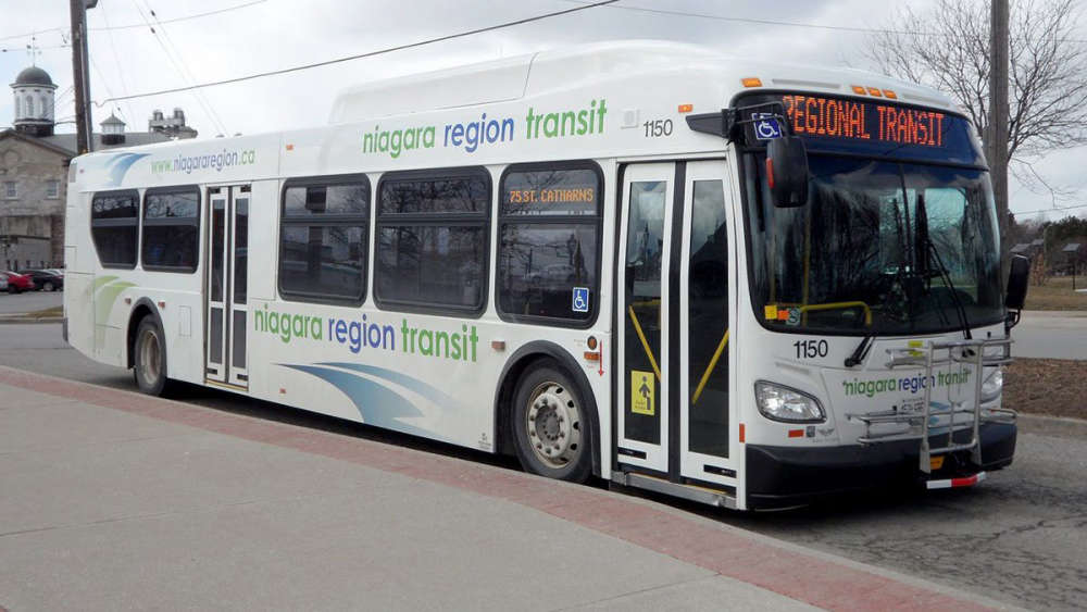 Niagara Transit to Receive Gas Tax Money
 Local Power Company Upgrading Technology
 Police Called Concerning Armed Individual
 Man Arrested in Connection to School Threats
 110kms to be Permanent on Certain Highways
 Suspect Sought After Cannabis Store Robbery
 Mayor Looking at 'Silly Ways' to Control Speed
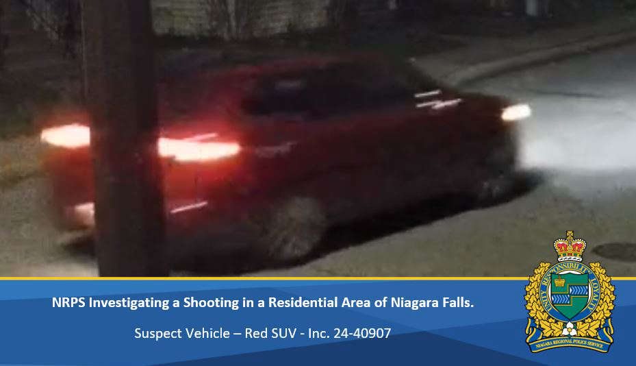 No Injuries After Shots Fired at House